3,300 meters, a name that inspires no confidence and a reputation as purgatory. In truth, it's one of the finest roads in the country, as long as you leave early.
Key points
- The Cerro de la Muerte is the highest point of the Pan-American Highway, at about 3,335 m (10,942 ft), on Route 2 between Cartago and San Isidro del General.
- The real danger is fog: cross the pass in the morning, before it rolls in.
- At the top, it is between 1 and 13 °C (34 to 55 °F): a fleece, warm gloves and rain gear within reach.
- In the rainy season, the road can be cut by a landslide: check its condition before setting off.
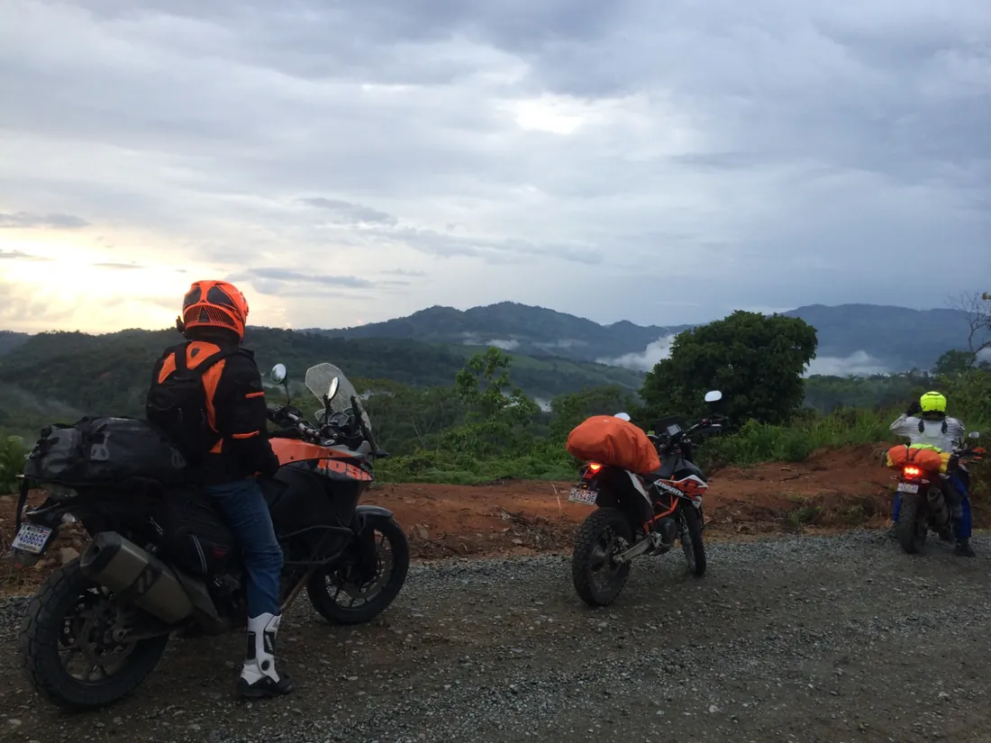
On the map, it is just a pass on the Pan-American Highway. In conversation, it is a dark legend. In reality, the Cerro de la Muerte is one of the most beautiful rides in Costa Rica, and the gateway to the wild south. Here is how to cross it with peace of mind: when, with what gear, and what awaits you on the other side.
Why “la Muerte”?
Before the road, crossing the Talamanca range was done on foot or on horseback. The pioneers heading down to the General valley took four to five days, without shelter, in the cold and damp of the high plateaus. Many did not survive, and the mountain kept the name.
In the early 20th century, shelters were built along the trail so that travelers could take cover; one of them was actually called La Muerte. Today Route 2, the Pan-American Highway, is paved and dotted with small roadside restaurants. The name has stuck, though, and it still makes an impression over a drink.
What makes the pass hard, and what doesn't
The gradient is not a problem: the road climbs steadily, and a modern motorcycle handles it effortlessly. The surface is decent over most of the route, with a few sections rebuilt after landslides.
The real difficulty is the fog. As the morning goes on, clouds rise up both slopes and end up clinging to the ridges. Visibility can then drop to a few dozen meters, the damp makes the asphalt slippery, and trucks crawling uphill appear at the last moment.
Second challenge: the cold. You leave the Central Valley at 25 °C (77 °F) and find yourself at the top at 1 to 13 °C (34 to 55 °F) depending on the time and weather, often in the damp. Every year, travelers make the climb in a light summer jacket and regret it. A warm layer under the jacket and a real pair of gloves change the experience completely.
Third point: traffic. Route 2 is the main road between the Central Valley and the south of the country, and trucks are plentiful. Stay patient, keep your distance and never overtake in the fog.
Finally, the rainy season brings its share of landslides. The road is sometimes closed as a precaution after heavy rain, while the roadway is cleared. A quick check of road conditions before setting off avoids nasty surprises.
What time to cross the Cerro de la Muerte?
In the morning, always. Leaving San José between 6 and 6:30 a.m. gets you to the top before the clouds settle in. In the dry season, from December to April, the sky often stays clear longer. In the green season, mornings are generally clear and showers come in the afternoon. Either way, the principle is the same: cross the pass early.
The Cerro de la Muerte is on the itinerary of several of our tours, and we always cross it in the morning. Discover the South Tour
How to gear up for the pass
- A fleece or a thin down jacket under your riding jacket, to take off on the way down.
- Warm gloves, on top of summer gloves for the rest of the trip.
- Rain gear packed at the top of your bag, reachable without unpacking everything.
- A clean helmet visor, ideally with an anti-fog insert.
- Headlights on and reflective clothing: mandatory in Costa Rica, and invaluable in the fog.
- A full tank before starting the climb.
If you don't have your own gear, helmet, gloves, jacket and rain gear are available as an option, at $15 per day. Only boots need to be brought.
The reward: the cloud forest and the descent to the Pacific
On a clear day, you ride above a sea of clouds, through vegetation you would not expect in the tropics: moss-covered oaks and, higher up, the páramo, a high-altitude moorland rare in Central America. Los Quetzales National Park lines the road. Nearby, the San Gerardo de Dota valley is one of the best places in the country to spot the resplendent quetzal, the sacred bird of the Maya.
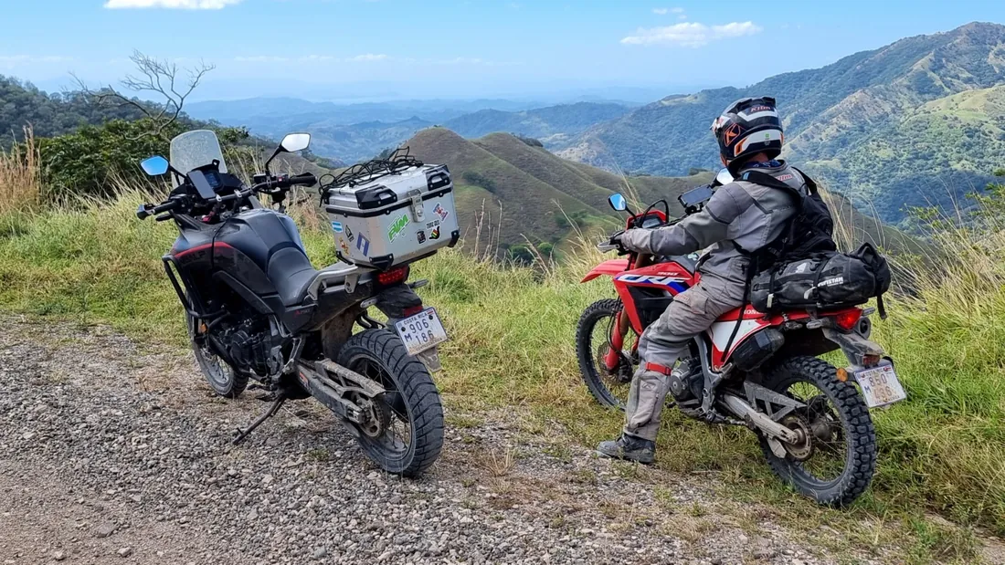
Then comes the descent to the General valley and San Isidro: a long series of bends, temperatures rising before your eyes and vegetation shifting from moss to banana trees. It is one of the most beautiful stretches of road in the country, and an excellent introduction to the south: the Osa Peninsula, the Golfo Dulce and the Costanera.
In practice
- Distance: from San José to San Isidro del General, allow about 140 km (87 miles) and three hours of riding, not counting breaks.
- Recommended departure: between 6 and 6:30 a.m. from San José.
- Maximum altitude: about 3,335 m (10,942 ft), the highest point on the entire Pan-American Highway.
- Break: the small roadside restaurants serve hot coffee, welcome at the top.
- Avoid: climbing in the late afternoon, and overtaking in the fog.